
Insights. For Ecologists using QGIS and other map tech.
Short videos and longer articles
Insight articles
How Learning Organisations reduce GIS risk in the age of BNG
While approaches vary, for most ecology consultancies GIS is now critical for delivering the vast majority of projects, and is embedded throughout project delivery. So for owners and directors, GIS is no longer just a technical function. It is a delivery risk, a compliance risk, and increasingly a reputational risk. How organisations recruit, onboard, and develop GIS capability therefore has direct commercial consequences.
This is where the concept of a learning organisation becomes important. A learning organisation builds capability over time by embedding learning into everyday work, reducing reliance on individuals and improving resilience. In the context of GIS, this means being able to respond to regulatory changes, maintain consistent standards, and ensure staff can step into unfamiliar tasks with confidence.

Location Links Almost Everything: Building GIS Skills for Ecologists to Embed Spatial Evidence into Decision-Making
Location links almost everything, and provides a powerful framework for informing decision-making; allowing environmental information to be placed in context. I’ll be exploring this topic with my co-presenters (Jessica Elliott from Tyler Grangeand Elina Foui from GiGL) and delegates in the workshop, “Location Links Almost Everything: Embedding Spatial Evidence into Decision-Making” at the CIEEMAutumn Conference. I wanted to take the opportunity in this article to reflect on some of the practical skills ecologists can use to integrate environmental information into planning, policy, and operational decisions.

11 Reasons Why Learning QGIS Benefits An Ecologist’s Career, Helping Them Influence Decisions and Shape Nature’s Future
During a career, ecologists rarely work on just one type of project. You might map habitats for a consultancy, model climate impacts for a LPA, advise policymakers at Natural England, or help land managers plan restoration. The skills you bring to each project are just as important as the data itself.
That’s why QGIS is a game-changer. It doesn’t just help with today’s tasks; it builds transferable, career-long skills. Like a Swiss Army knife, QGIS equips ecologists to adapt, collaborate, and deliver meaningful insights across diverse projects.

Here’s how to make your ecology mapping workflows accurate, efficient & standardised in time for next field season. PART 4: Data
In this final part, we turn our attention to data. We’ll explore how the data you choose to use as background directly impacts the accuracy, and time, it takes to deliver your work. Specifically, I:
show you how to appraise the usefulness of a dataset
discuss how you licence them for use on a project
signpost some great datasets
explore how these datasets improve your workflows
Here’s how to make your ecology mapping workflows accurate, efficient & standardised in time for next field season. PART 3: People.
To successfully update your mapping workflows, you need a clear plan to guide you (see Part 1) and the right GIS software and IT infrastructure to support it (see Part 2). But at the core of it all are the people actually carrying out Biodiversity Net Gain (BNG) assessments and species surveys—you and your colleagues. In my opinion, that makes you the most important part to focus on.
Here’s how to make your ecology mapping workflows accurate, efficient & standardised in time for next field season. PART 2: IT and Software.
Welcome back. In the first of this 4-part article, I shared with you the initial steps I take when helping ecology consultancy improve their mapping workflows. We looked at how to review your current GIS set up (via a ‘GIS audit’) and formulate a plan (or ‘GIS Roadmap’) to guide you. We concluded that there were typically 3 key areas to focus on this winter, if you want to make your mapping workflows accurate, efficient & standardised in time for next field season; Software. People. And Data.
In my early days as a freelancer my laptop was stolen from my bag on a bus. I was distraught. Back then, I was relying on hard-drives, and although I was able to recover most of my work, some was lost. It was the prompt I needed to move to cloud storage. There are lots of aspects that determine the success of a GIS project, and in this article I will explore some common IT and software issues. Plus look at how opensource GIS can play a part in the solution.

I’ve spent a decade helping Ecology Consultancies make mapping workflows Accurate, Efficient & Standardised. Here’s how you do it, in time for next field season. PART 1 (of 4).
Winter. A time of hibernation for some creatures. Including myself, to some extent! For Ecologists, it tends to be the time when you can finally come up for air after a hectic survey season. And breathe. And have a cup of tea. And start to figure out how to make your survey and mapping processes smoother and better for next year.
I’ve been working freelance, as Maplango, for a decade now. In that time I’ve worked with 100+ companies, and trained 1000+ ecologists. In this 4-part article, I’m going to share with you the process I use to make client mapping & survey workflows more accurate, efficient, standardised, and consistent. Hopefully it’ll help guide your thinking, provide a structure, or at least stimulate some ideas.
7 things Ecologists get wrong carrying out a Biodiversity Net Gain assessment in QGIS
You’re an ecologist, I don’t need to tell you BNG is complex.
I’ve been helping clients with the mapping for BNG for some time, integrating pre and post development data, exporting to the metric. Then last week I went on a CIEEM BNG training course, and I now see the full picture. Wow, I’m in awe of the range of skills ecologists need.
So, if you are an Ecologist trying to get to grips with all the mappy-data bits of BNG, here is the Maplango listicle of 7 things Ecologists often get wrong carrying out a BNG assessment using QGIS.

Why Ecologists should stop using paper maps and try one of these tools for field surveys with QGIS
Are you still using a pen and paper in the field? Can’t see the point in going digital? Would you like to start using an app to collect survey data but don’t know where to start?
In this article I’m going to look at why you should seriously think about going digital, and point you in the direction of some great tools. It’s easier than you might think.
I view QGIS as the ‘hub’, where you manage, analyse, manipulate and integrate data. And create maps, of course. But often for Ecologists the process of getting data into QGIS begins with field survey. To do that digitally, on a handheld device, you’ll need some accessory tools.
I should confess, it’s been a while since I’ve done any fieldwork. My ID skills are so rusty. But I do have fond memories from my early career. A week radio-tracking Manx shearwater on the Isle of Rum aside was a particular highlight. Typically these days my input to surveys involves setting up web-forms or apps to facilitate survey methodologies. Then processing the data collected to generate insights.
What I’ve found over the years is that everybody has a particular way of going about a survey. Which is why all the tools in this article allow you to set things up just the way you like them.

6 QGIS plug-ins no UK ecologist should be without
QGIS plug-ins are great. They expand the capabilities of QGIS, offer unique new features, and can make your workflows super efficient. Only one plug-in on this list has been specifically designed for ecologists, but they are all super-useful for ecologists working in the UK. I use them all daily basis, incorporate them to my training courses, and get great feedback when I recommend them. But if you were hoping this article would focus on solving ecological questions like calculating vegetation health from satellite images using NDVI, you’ll have to wait for a future article!
I have been using GIS software for over 20 years now. I started out with ArcGIS at the Joint Nature Conservation Committee, migrated to MapInfo at London Wildlife Trust, and to QGIS when I set up Maplango 8 years ago. I distinctly remember the frustration of transition, when I was so familiar working in one system and had to learn another. But it’s things like Plug-ins that make QGIS the joy it is. Being open-source, QGIS really facilitates the development of these additional tools, plus gives a real sense of community. It’s a pleasure to share these with you.
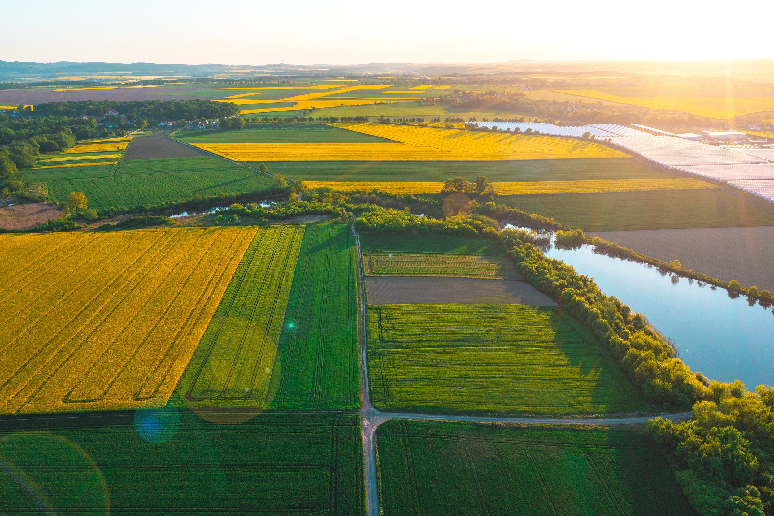
I’ve spoken to Ecologists (QGIS users) and Landscape architects (CAD users) and here’s how to improve collaboration and make Biodiversity Net Gain (BNG) Assessments quicker and easier.
Over the years landscape architects and ecologists have been like 2 tribes. One using CAD to design, the other using (Q)GIS for site management and spatial analysis. With Biodiversity Net Gain (BNG) there is a real need to collaborate. On a technical level, this means integrating CAD designs to QGIS to create the ‘post-development’ GIS layer. However, as we shall see, there are opportunities for a deeper, more collaborative, approach to habitat design.
At this point, I should confess I’m not a CAD user, or a practicing ecologist, or a landscape architect. I’m a GIS specialist. And I love to collaborate, working daily alongside both ecologists and landscape architects. I wanted to better understand the issues both groups experience around QGIS-CAD-BNG so I reached out and spoke to both groups.

Any queries?
Subscribe
What our subscribers say
”A well written article that I will come back to, and that is high praise” John
“Extremely useful videos” Olly
“I will definitely forward this to the ecologists here and others I know” Jane
“Written in plain English without becoming over-technical” Mark
