

Giving ecologists
roots in GIS and wings
to advocate for nature
On-demand QGIS training
designed for ecologists, by ecologists


Upskill in QGIS
Training courses
Solve issues fast with SOS email support
Quick reference videos
Join Q and A sessions to get hands-on support

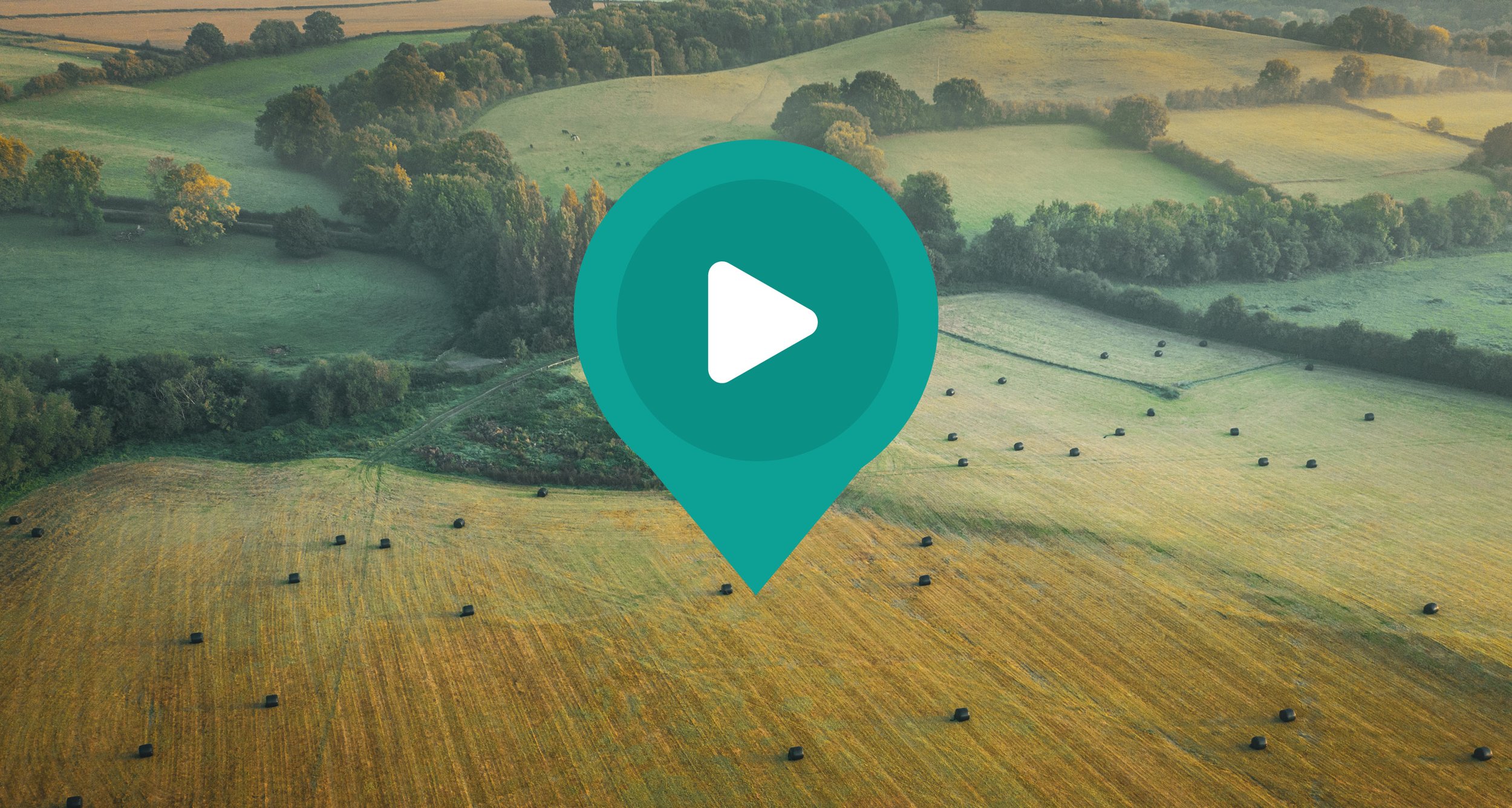
We’ve been helping ecological consultants tackle their biggest mapping challenges for over two decades.
And we’ve trained thousands in QGIS.
Unlike other mapping experts, we are ecologists too, so we know there’s a lot more to your work than GIS.
One day setting reptile refugia, up half the night on a bat survey, the day after trying to remember how to split a polygon!
Our training has been specifically designed to deliver CIEEM Competency frameworks. The tutorials provides the skills to capture field survey data, conduct BNG assessments, and other GIS analysis, efficiently, accurately, and with confidence.
Dive-in to Spatialsesh for video reminders, hints, tips and workflows.
Or linger longer and upskill with a course.
Hybrid QGIS Training Courses
(Self-led, but with SOS email support & instructor-led Q & A Sessions)

All courses include:
Instructional Videos with:
Explainer Section & On-screen Demonstration.
Downloadable Data and Materials.
Step-by-Step Exercise Instructions.
Courses Deliver CIEEM Competency Frameworks.
Certificates Issued On Completion.
Work through at your own pace.
Join monthly Q & A session if you get stuck, or
Use Emergency Email Support if you need help right away.

QGIS
Essentials
Course Level: Beginner
Time Commitment: 1 day
Course Content:
1. Set up a QGIS project and data management process.
2. Source and incorporate high quality, freely available data to provide background and set your data in context.
3. Create your own GIS data to represent habitats, species and other features on a map, and add colours and symbols.
4. Perform basic spatial queries, to export a species list for a site.
5. Produce professional habitat maps for reports.

QGIS for
Biodiversity Net Gain
Course Level: Intermediate
Time Commitment: 1 day
Course Content:
1. Set up a QGIS form for ease of data input in the office or field.
2. Integrate a range of datasets commonly used in BNG assessments.
3. Geo-reference a raster field survey map for use in QGIS.
4. Work with CAD data in QGIS (add, symbolise, re-position, covert to other formats).
6. Create pre and proposed development habitat datasets using advanced digitising tools.
7. Work with the NE BNG QGIS project, including exporting data to the BNG Metric using NE tools.

NEW courses
Coming soon
1. Customising BNG workflows
Integrating design revisions with ease.
Streamlined workflows
2. Setting up BNG survey forms for use in Mergin maps or Qfield
Creating seperate survey layers from NE Template.
Integrating design revisions with ease.
3. QGIS for Ecological Analysis
Fixing geometry / digitising issues.
Nearest Neighbour analysis.
Import, process and map biological records

Become a member & get year round access to:
All courses (existing and new)
Library of quick reference videos
12 x 1 hour monthly Q & A sessions
Want your team to take as many courses as needed, or go over a particular tutorial again?
Do your teams have an immediate problem solve?
Want your staff to learn as a group, make new friends and improve their skills?
Need to save your team time form trawling YouTube and forums for answers?
Our short, single issue, context specific videos are part of our membership.
Members can
Take all current and new courses
Resolve issues quickly with quick reference video library
Ask anything at monthly Q & A sessions
Vote on what gets recorded next
Join now
Learn how to use QGIS for BNG in your own time, at your own pace. See above for full list of modules.
Learn QGIS Essentials in your own time, at your own pace. See above for full list of modules.
Anytime access to ALL our content for a year: Current and future courses, Quick reference video library. Plus join group support Q and A, and get help via SOS email.
Get all the benefits of membership plus dedicated help with a call-off / retainer support contract. Lot's of clients opt for support this way. It's a really collaborative approach that helps to build your capacity, saves you a lot of time, and gives you peace of mind knowing I'm on hand when you get stuck.
Consultancy, Coaching, Support & Mentoring

Membership Support
Monthly Q & A Sessions, Emergency Email
The ‘we show you how to do it’ option.
In addition to access to courses and tutorials members can:
Join monthly ‘Mappy Mondays’ lunch & Learn sessions to:
Ask Me Anything.
Get Emergency Email Support to resolve queries from tutorials.
Join Members Forum to chat, discuss and learn as a community.
Dedicated Support
On-Hand When You Need Us Most
The ‘we work on it with you or for you’ option.
Membership + Consultancy includes 7 hours support to use as and when is needed in next 12 months.
Meet on Zoom, or get help via Email or What’s app.
Lot's of clients opt for support this way. It's a really collaborative approach that helps to:
Build capacity.
Save time.
Give peace of mind knowing support is at hand.
Common issues clients use this for:
Troubleshooting issues as they arise.
Develop Organisational GIS Roadmap.
Customise Workflows for Accuracy and Efficiency.
Data Preparation (e.g. for a particularly tricky BNG Assessment).
Specialist GIS recruitment support.

What our clients are saying
“The videos are perfectly tailored to the current ecology needs for BNG, including CAD file conversion and the use of the NE QGIS to Metric import tool”.
John, Small Business Owner
“I thoroughly enjoyed the course and was able to follow the steps provided confidently. I feel empowered to use GIS now as part of my role as a Ecological Consultant”
Sarah, Ecological Consultant
“Matt Davies was a great training provider; knowledgeable, friendly and approachable when we needed ”
David, Senior Ecologist
“Being able to look back over the teaching videos in my own time is so valuable. The course was very practical which is essential for BNG”
Fiona, Freelance Ecologist
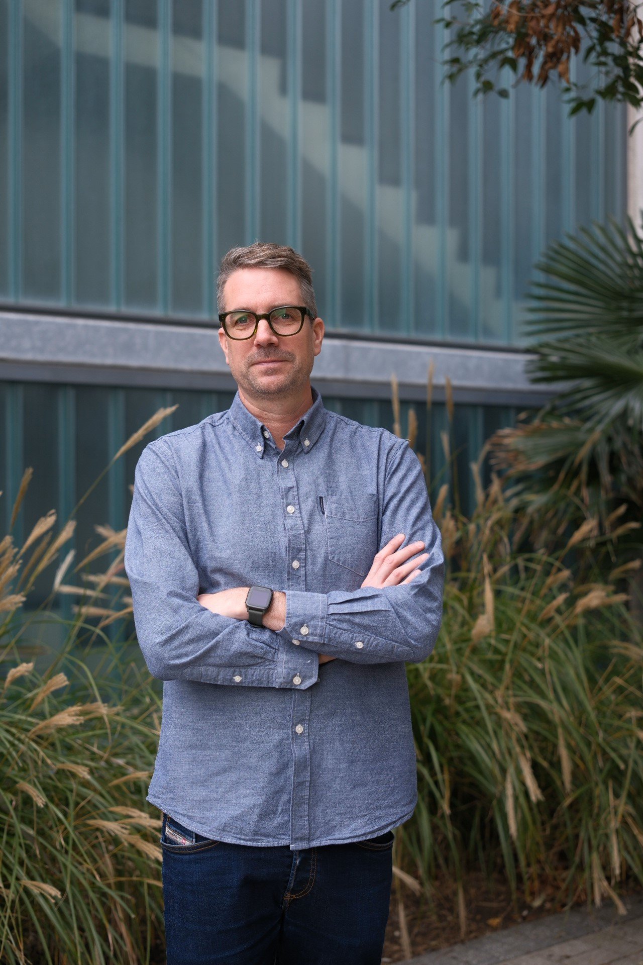
Meet your Tutor / Mentor / GIS Support / Consultant
✳
Meet your Tutor / Mentor / GIS Support / Consultant ✳
About
Back in the 90s, Matt studied Ecology/Geography at Sheffield University. An MSc in Natural Resource Information Systems followed. And he hasn’t really changed path since, still with one foot in Ecology and one in Geography.
After honing his skills at JNCC and GiGL, he founded and has run the Geo-spatial consultancy Maplango for 11 years.
Training
Matt has trained thousands of Ecologists to use QGIS, so the materials are tried and tested.
He’s run in-person courses all over the UK; for CIEEM, FSC, and in-house for many clients. When COVID hit, he began running courses live on Zoom.
And he now records videos so you and you team can work in your own time, at your own pace.
Support/Consultancy
Maplango are geo-spatial experts. And Ordnance Survey Partners.
Opt for Dedicated Support and you’ll be in good company.
We work with Canary Wharf Group, JNCC, The Port of Dover, and a wide range of Ecological Consultancies.
We have over 25 years GIS experience and in-depth knowledge of ecological, green infrastructure, landscape, ecosystem services and estate management projects. You are in safe hands.
Our Vision
We envision a world where ecological knowledge is genuinely respected and trusted, and where it informs the decisions that impact our planet.
We want ecologists to feel confident in creating accurate, trusted geographic data that ensures the natural world can thrive for generations to come.
Our Mission
Our mission is to equip ecologists with the confidence and skills to collect, analyse and communicate spatial environmental data.
We aim to enable and empower ecologists to influence planning decisions, inform policy and improve industry practice, so that ecological knowledge is embedded in how we shape the world.
Our Purpose
Spatialsesh exists to give ecologists both roots and wings: a strong grounding in GIS skills and the empowerment to inform decision-making on nature’s behalf.
We provide accessible, flexible training that fits around real life, enabling ecologists at all career stages to grow their capabilities, stay current and advocate for nature with clarity and confidence.
Any queries?
If you have any questions, want to discuss your requirements, or book a demo, please book a meeting, or fill out the form below.
Send us your query
Contact us
FAQs
-
Subscription provides access to all content, plus weekly Q and A sessions and SOS email support for a year.
-
With a subscription, absolutely. Work through them all if you like, or dip in to particular exercises, as you wish.
-
All subscriptions include monthly group Q and A sessions and SOS email help. You can always add dedicated support if you need it
Get Insights
Short videos and longer articles for Ecologists using QGIS and other map tech.